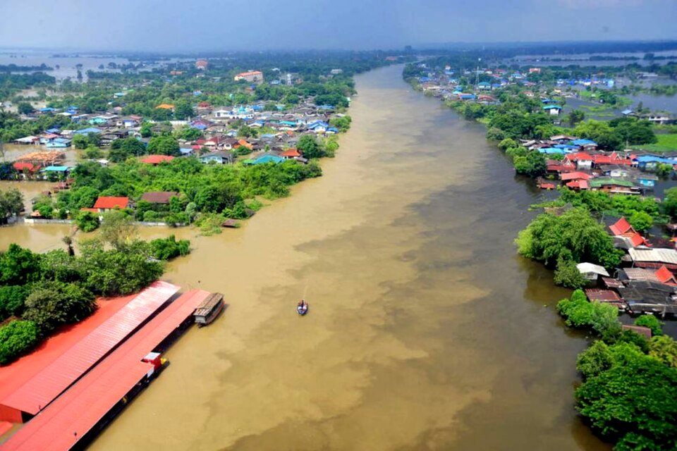
Floodwaters surround communities along a river in Thailand amid ongoing heavy rainfall. (Wikimedia/Daniel Julie)
Thailand is strengthening nationwide water management as flash floods and landslides affect northern provinces. Authorities prepare for increased water flows into the central region and enhance early warning and disaster response.
Following heavy rainfall on August 19, Nan province was hit by flash floods, river overflows and landslides across Pua, Phu Phiang and Santi Suk districts. Pua was among the worst affected, with floodwaters inundating homes and cutting access to several roads and bridges.
Authorities issued a cell broadcast alert urging residents in high-risk areas to move their belongings to higher ground. Emergency crews were deployed for evacuations and damage assessments, while several major roads were closed after flooding and the collapse of a bridge on Highway 1256 leading to Doi Phu Kha National Park.
Meanwhile, the Thai government is closely monitoring the Chao Phraya River basin, where increased water from upstream areas is expected to flow into the central region. Prime Minister’s Office Spokesperson Ratchada Thanadirek said authorities were managing the basin through upstream monitoring, controlled water releases from dams and preparations in downstream provinces.
Thai officials assessed the water situation as manageable, with the main monitoring period expected in September. Water discharge is forecast at no more than about 1,200 cubic metres per second, compared with approximately 2,700 cubic metres per second during last year’s peak. While some low-lying areas may experience flooding, authorities expect the impact to be less severe.
The government is now using a risk map developed by the Geo-Informatics and Space Technology Development Agency (GISTDA) in cooperation with water-management agencies and the Meteorological Department. The map is intended to identify high-risk areas in advance and guide the deployment of personnel, equipment and assistance.
At the same time, Thailand is preparing for drought, with rainfall in the central region down by around 20% and national rainfall by about 8%.
The contrasting conditions expose Thailand’s growing water-security challenge, where flooding and drought are increasingly simultaneous rather than seasonal risks. The government’s shift towards risk mapping, basin-wide coordination and early intervention could improve resource allocation and reduce disruption to communities, agriculture and infrastructure. More broadly, integrated planning will be important as climate variability places greater pressure on Thailand’s water systems and requires authorities to coordinate disaster preparedness, agricultural needs and long-term water security.
About The Author